Super Copper Deploys Drone Magnetics and Satellite Imagery at Castilla Copper-Gold Project
How Super Copper is leveraging advanced drone magnetics and satellite hyperspectral imaging to map the subsurface roots of an untested, high-grade IOCG system in Chile.
 Editorial Team (ET)October 5, 2026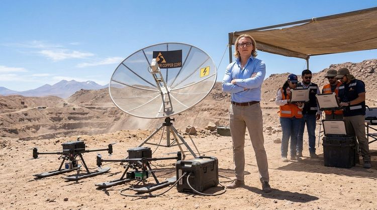
Finding high-grade copper and gold sitting directly on the sun-bleached surface of the Atacama Desert is one thing; the real multi-million-dollar trick is proving how deep those roots actually go. Super Copper Corp. (CSE: CUPR | OTCQB: CUPPF) is answering that exact question by launching a property-wide, high-tech geophysical and hyperspectral campaign at its 100%-owned Castilla copper-gold project in Chile.
Here at JuniorStocks.com, we have featured the company before, keeping a close eye on their milestone-driven exploration strategy, and this latest tactical advancement highlights exactly why the explorer remains a compelling story in the copper space. Rather than rushing in blindly with expensive drill rigs, the company is deploying an integrated three-tier exploration workflow designed to systematically convert Castilla’s extensive surface mineralization into an optimized, ranked inventory of drill-ready targets.